
satellite data
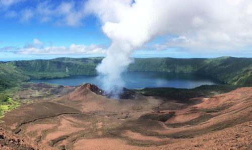
Hunga Tonga Eruption: Using satellite imagery to investigate volcanic activity
After the Hunga Tonga eruption on the 15 January, Prof. Mike Burton from the University of Manchester’s Volcanology group explains what we know and what we can learn from the blast.

Meet our alumni: an interview with Jonathan Hicks
Jonathan Hicks studied the MEarthSci in Earth and Planetary Science at the University of Manchester, and he graduated recently in 2019. He now works as an Associate Geospatial Data Analyst within the Solutions Team at Rezatec, an AI-driven satellite analytics company. In this interview, Jonathan tells us how a Space Placement in Industry (SPIN) combined with techniques acquired through his studies in Planetary Science, such as Geographic Information Systems (GIS), helped him to secure his current job.